David Thompson, The Pathfinder
Koo-koo-sint
Patron Saint of the Basstravaganza
Anyone who visits eastern BC is traveling in the footsteps of David Thompson. In the days before machines were giants and men were puny, David Thompson was a giant among men. The first man tall enough to see over the Rockies. Described by some as "the greatest land geographer who ever lived".
Imagine that the year is 1790.
The great metropolis of Havana has been capital of the new world for almost 300 years, and colonial cities have sprung up all across the Caribbean Islands and mainland shores. The great Spanish gold fleets have been transferring immense amounts of gold and silver to the motherland for centuries, and bringing back slaves to the New World in return. It has been 250 long years since Jacques Cartier discovered the St Lawrence, and founded the colony of Quebec. Along the E coast of N America, great cities have grown up, and the citizens there have revolted against their colonial overlords to founded a new country: the US of A. But the NW section of N America is still an impenetrable mystery, like the darkest heart of Africa. Sailors fear the jagged and stormy coast. The source of the Columbia R is just as obscure as the source of the Nile.
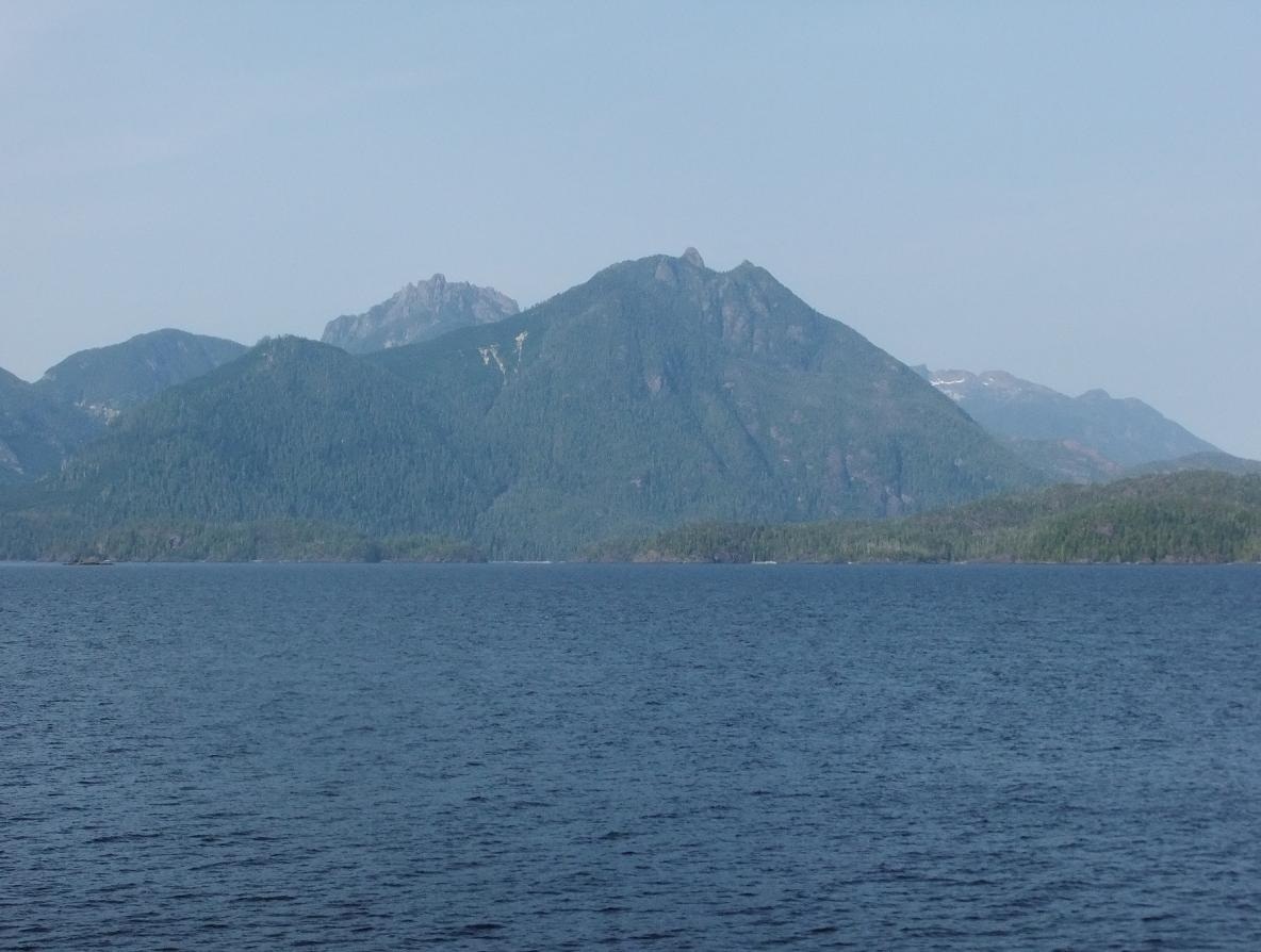
The Pacific shore of N America was the last shoreline in the temperate latitudes to be explored and mapped by Europeans. At that that time the maps showed Nootka as an inlet on the N American mainland. In 1792 Captain George Vancouver was sent from England to meet with the Spaniard Bodega y Quadra at Nootka, to implement the Nootka Convention, drafted and signed off already in London and Seville. This was essentially an early attempt at a "free-trade" agreement, which would allow British ships to trade in western N America without hassle from the Spanish. The immediate interest for Britain was for the extremely valuable sea otter furs first marketed in China by Captain Cook. Vancouver sailed into Nootka in early summer, but Quadra, who was sailing up from Mexico, had not arrived yet.
Instead of waiting for Quadra, Vancouver set off exploring, up the previously uncharted Strait of Juan de Fuca, into the amazing island studded inland sea now known as the Strait of Georgia and Puget Sound. Here he happened to run into the Spaniard Galiano, and together they continued slowly NW, mapping and exploring, thru Johnstone Strait and back out into the Pacific. They were the first Euros to circumnavigate big island that would later bear Vancouver’s name. But still no Euros had even begun to penetrate inland from the coast – one of the toughest places on earth for humans to explore. Steep mountains cloaked in rainforest jungle soaked by torrential rains. The Euros came in their ships, traded with the natives who bartered sea otter skins from their canoes, and left.
In 1670 the Hudson’s Bay Company was formed by royal charter. It is the oldest corporation in N America, and one of the oldest in the world. The HBC is the direct opposite of free trade. It is a trade monopoly issued by royal decree, intended to lock half a continent into the service of a few private investors, who had only one interest – killing mammals and shipping their skins back to Europe, where the rich and trendy wore them as symbols of success. HBC began building log tradinghouses and warehouses called factories, first on the rivers flowing into Hudson’s Bay and later along canoe routes inland. When the French were driven out of N America the HBC absorbed their historical fur trapping grounds around the Canadian side of the Great Lakes, and gradually started pushing W across the great blank continent, building widely spaced factories, where its factors (agents) lived and traded Euro manufactured goods to the natives in exchange for furs.
David Thompson was born in 1770. His parents were poor and his father died soon after he was born. His mother could not support him, so he was sent to a school where he was given a good education – with the caveat that upon graduation he had to move to the dank wilderness of distant N America and work for HBC for the next 7 years. In 1784 – seven years before the Nootka Convention – David Thompson left England forever and sailed to Churchill Factory on Hudson’s Bay.
He was a diligent employee, eager to learn, fascinated with geography, surveying and mapmaking. The isolated factories were so poor that they could not afford candles, so the only source of lite during the long winter nites was the fire in the woodstove. David would crouch near the stove and study manuals for sextants and astrological instruments. In 1788 he fell and broke his leg, an injury from which he nearly died. It left him with a permanent limp for the rest of his life. The same winter, a combination of too many hours reading in the dark by the fire combined with looking too long at the sun thru a sextant left him permanently blind in one eye. In spite of physical limitations that would have confined many men to a chair in a city for the rest of their lives, Thompson then embarked on the most spectacular series of explorations in the history of N America.
He spent 13 years working for HBC, often as a trader at a number of factories, but also exploring routes into new fur resources inland from Hudson’s Bay. He explored and mapped a lot of northern Manitoba, Saskatchewan, and Alberta. He was always frustrated with HBC, which generally discouraged exploration and expansion. In 1779 HBC’s exclusive charter was revoked, and another group of adventurer-businessmen was granted a competing fur charter for the Northwest Company. In 1797 Thompson resigned from HBC and went to work for their rival. The NW Company was much more interested in expanding their territory, and finding new sources of furs. Over the next few years he completed the first accurate survey and mapping of the entire shore of Lake Superior. He helped blaze and map the Canadian/US border W from Lake Superior to Lake of the Woods. He explored and mapped the complicated headwaters of the Red River (flowing N into Hudson’s Bay), the Lake Superior drainages, and the upper Mississippi. It is David Thompson who was the true discover of the source of the Mississippi. Almost all of his traveling was by foot, or dogsled, or handmade birchbark canoe.
In the 1790s, while Euro and US sailing ships were decimating the sea otter population along the Pacific coast, the NW Company spread W across what is now Manitoba, Saskatchewan and Alberta. David spent a number of frustrating years engaged in the mundane bureaucracy of the fur trade, always moving W, until finally he was stationed on the N Saskatchewan R, in the shadow of the great Rocky Mountains. In 1799 he married Charlotte Small, daughter of a native woman and one of the partners in the NW Company. Unlike many casual mixed-blood "marriages of convenience" that were the norm at that time and place, David and Charlotte remained married until David’s death at age 87. Charlotte died 3 weeks later.
By 1800 no explorers of Euro origin have yet been able to get across the Rockies. Rumors abound of untapped fur trapping grounds, and fortunes to be made. The NW Co has great respect for Thompson’s organizational, leadership and mapping abilities, and they charge him with the task of finding a way over the mountains into the great blank spot on the map beyond them. If the Co could break thru, there might be an eldorado of furs on the other side.
Thompson lead 2 expeditions that summer, only to find that the rivers were too steep and high to allow for canoe travel, and the rivers ended in sheer rock walls, with towering snow packs above. On the first try they met a group of Kootenays, natives from the W side of the Rockies. The Kootenays had heard about the NW Co, and they wanted to trade furs for guns. Their neighbors on the E side of the mountains, the Piegans, already had guns. They would sneak over the mountains in summer, raid and murder the Kootenays, and steal their few horses. And they would attack and harass their neighbors when the Kootenays went over to the E side of the mountains in summer to hunt bison.
In 1801 Thompson tried again to find a way over the Rockies, but was turned back by fast water and steep rock. During this time he was stationed at Rocky Mountain House, on the N Saskatchewan R, near modern day Red Deer Alberta. David and Charlotte had their first child there that year, a daughter. The company gave up on the idea of crossing the Rockies, and David was sent back to the boring, flat "muskrat country" inland from Hudson’s Bay to perform the tedious job of trading furs.
In 1804 David was made a full partner in the NW Co. By now, the population of the US was over 5 million. The punch card, electric battery, gas street lites, and the stream locomotive had been invented in recent years. But still no people of Euro descent had been able to penetrate inland from the N Pacific. Nor to make it W across the barrier of the Rockies to the sea. The great majority of the residents of inland BC had never seen a white man, or a gun, or a steel knife blade.
In 1803 the US purchased "Louisiana", a huge and undefined area W of the Mississippi. Where did Louisiana end and Canada begin? No one knew. Almost no one from either country had ever been there. In 1804, the US funded Lewis & Clark, who discovered huge, untapped fur resources on their way to the Pacific and back. The NW Co sensed the increased competition for furs. Fur peddler John Jacob Astor was now the World’s Richest Man, and he was talking about expanding to the W.
In those days the logistics of the fur trade were stupendous. Trade goods made in England had to be transported by ship to Montreal, then via canoe up the Great Lakes to the Grand Portage (near modern day Thunder Bay, Ontario), thru an elaborate and complicated series of portages thru Lake Winnipeg (first mapped by DT), and paddled up the Saskatchewan R to the foot of the Rockies. The next year’s fur harvest had to transported back to Montreal the same way, in reverse. The NW Co, HBC, and Astor all new that it would be much easier to send the furs out to a depot on the W coast, and pick them up in sailing ships there.
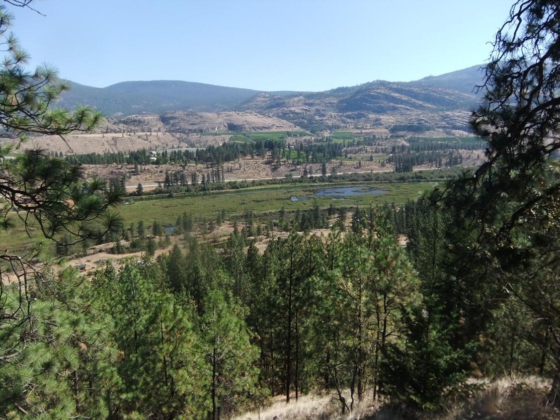
Now Lewis & Clark had discovered the path of the lower Snake and Lower Columbia rivers. But nobody knew nothin about the rivers to the N. Where did the Columbia come from? By 1806 the Thompsons, along with their (now) 3 children, were stationed back at Rocky Mtn House, prepping for another stab over the Rockies. In summer of 1807, along with native guides and 8 French Canadian voyageurs, the entire Thompson family got into canoes and started paddling up the N Saskatchewan R. They crossed over the great divide, and descended the W slope – the first exploration expedition ever to penetrate the interior of what is now southern BC. Over Howse Pass, and down the Blaeberry R until the Blaeberry ran into a big river. Only one problem. This river flowed N, almost directly opposite the direction of the Columbia’s outlet in Oregon. Thompson decided that this could not be the Columbia. It was getting late in the season, so they went S (upstream) until the found a spot where the river widened into a big lake. There they started chopping down trees and built a cabin.
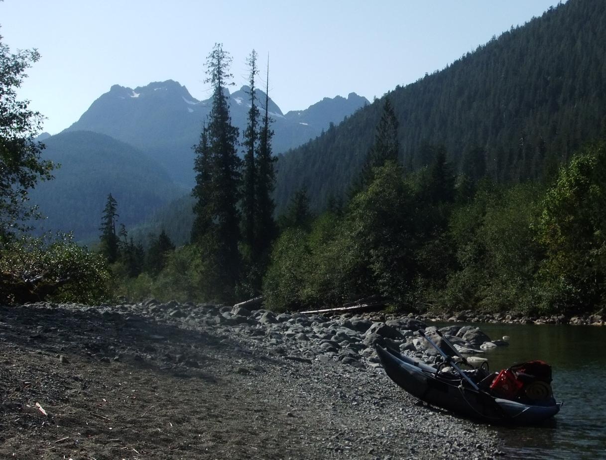
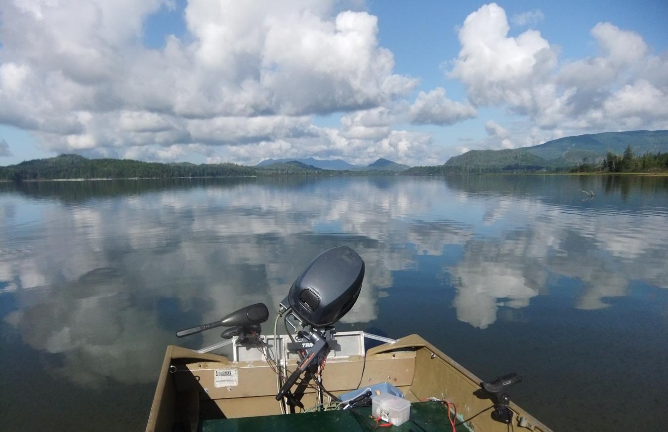
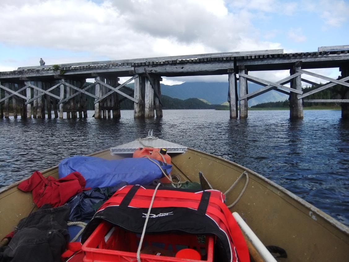
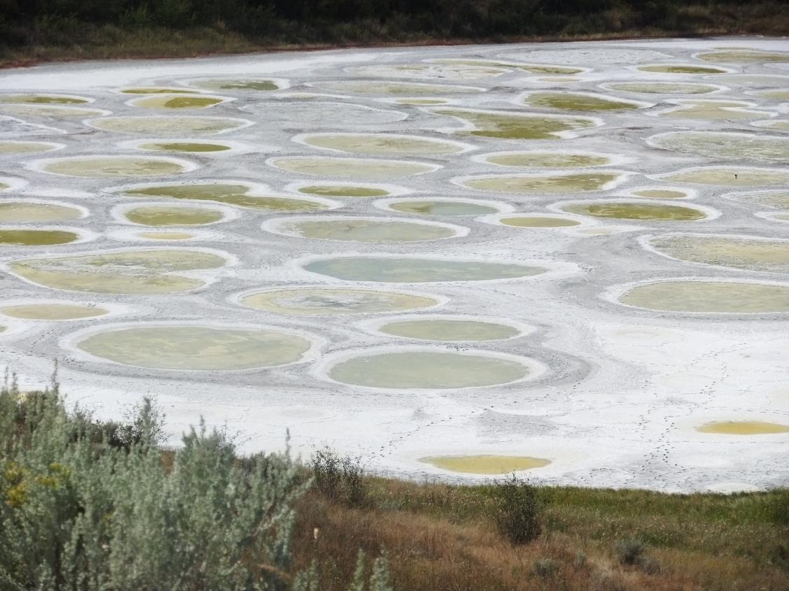
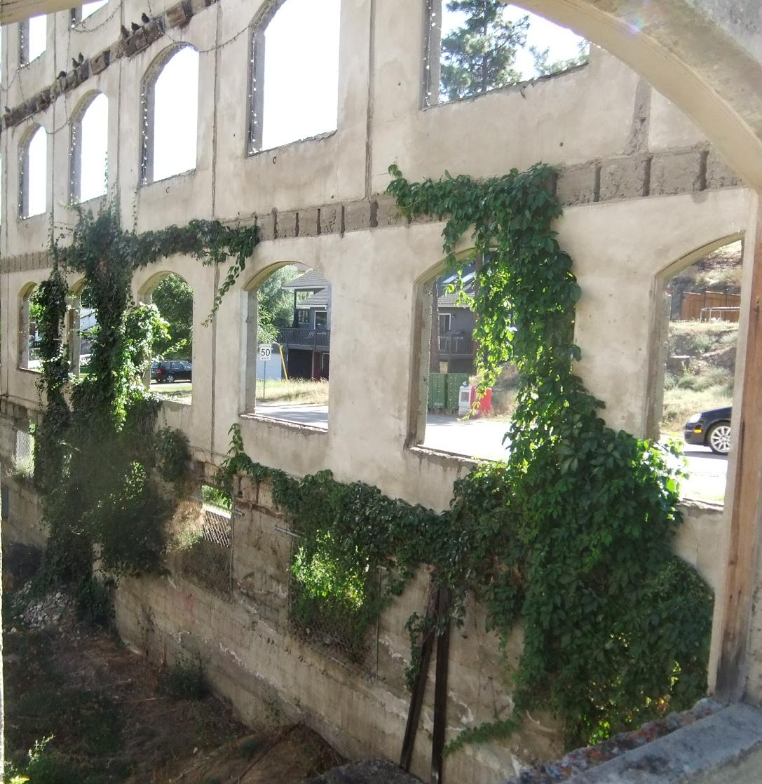
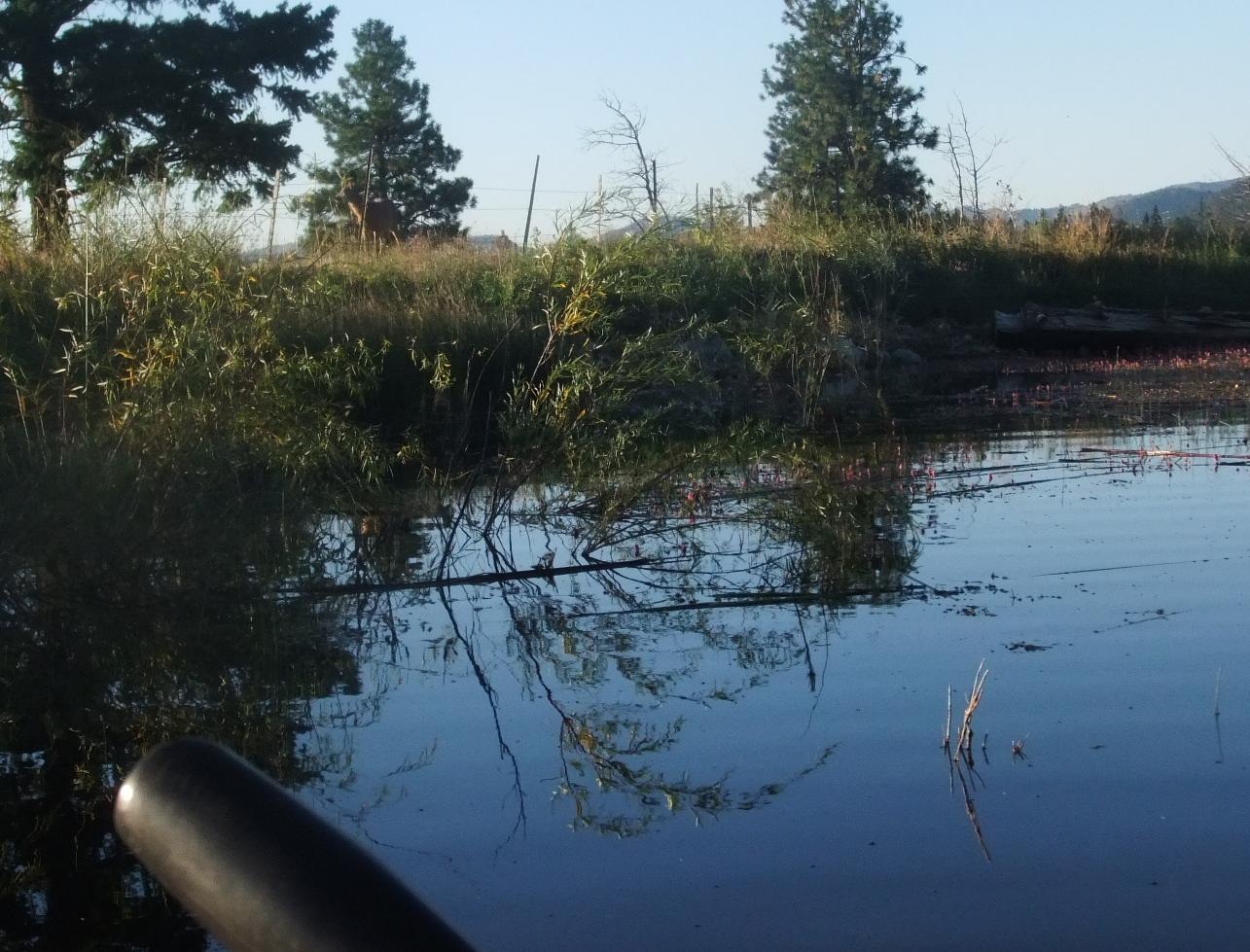
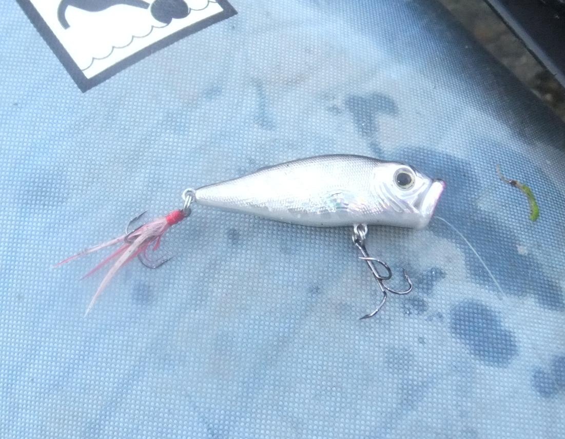
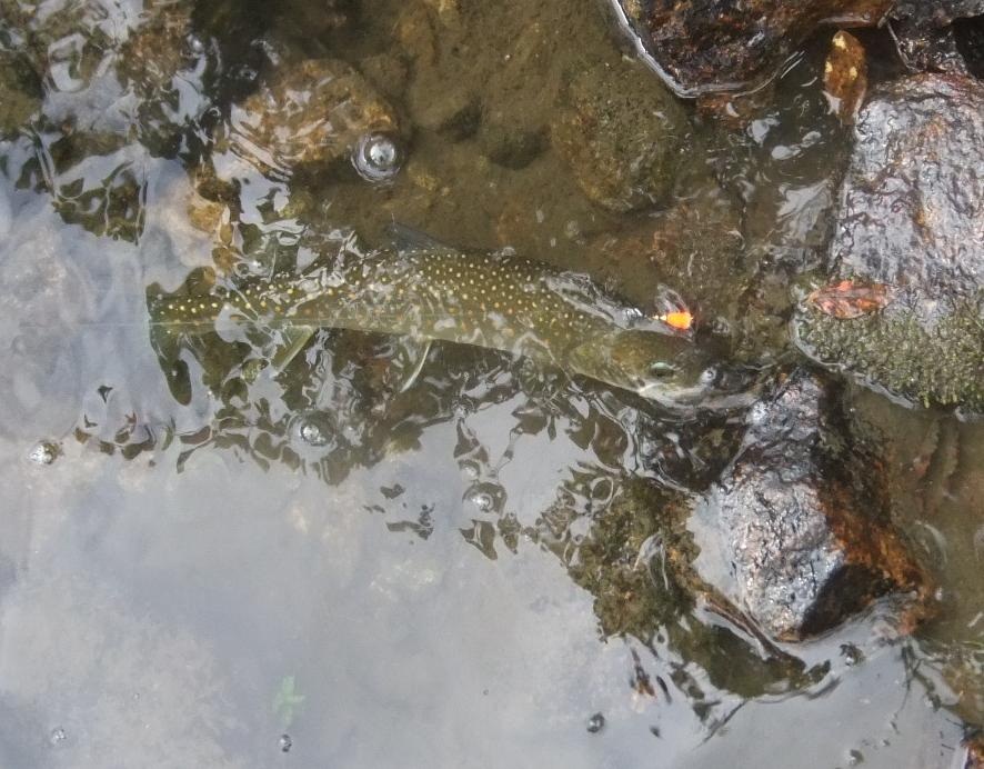
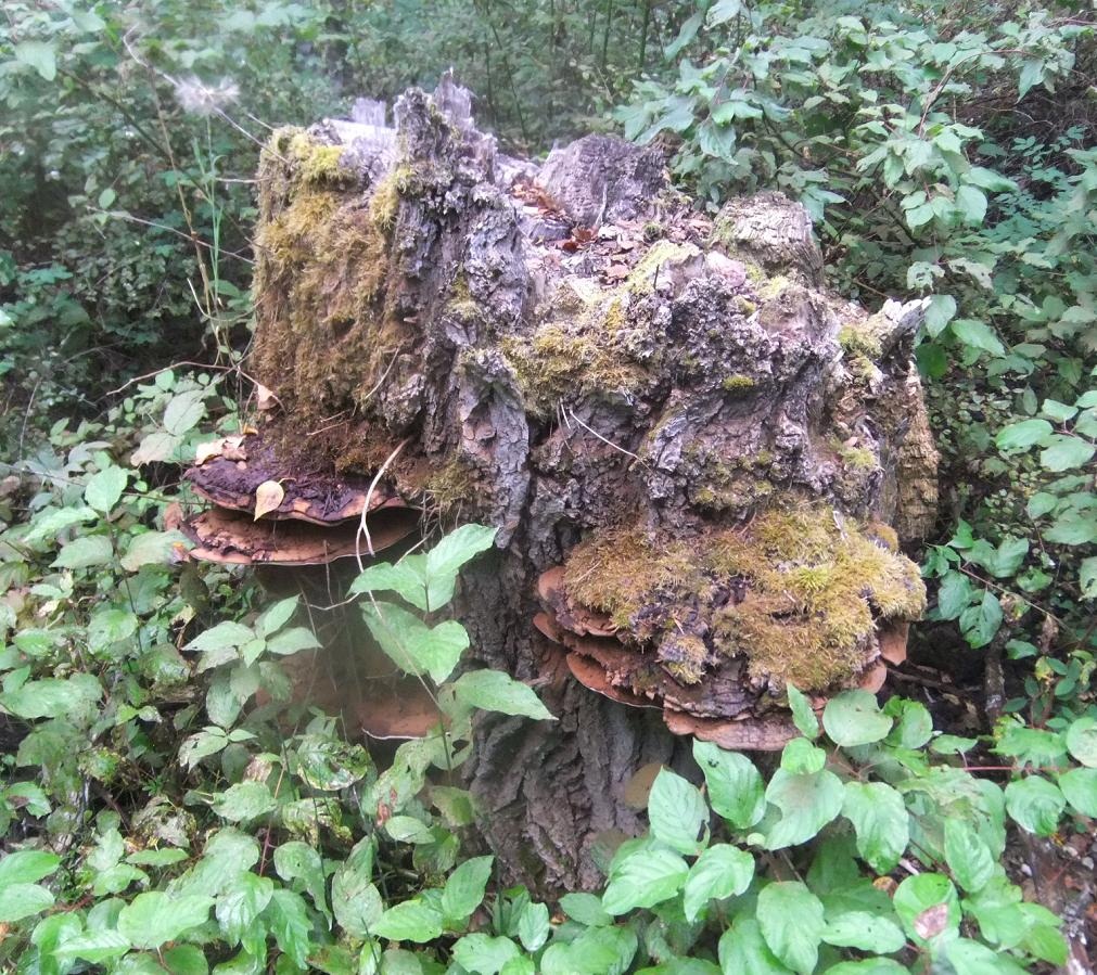
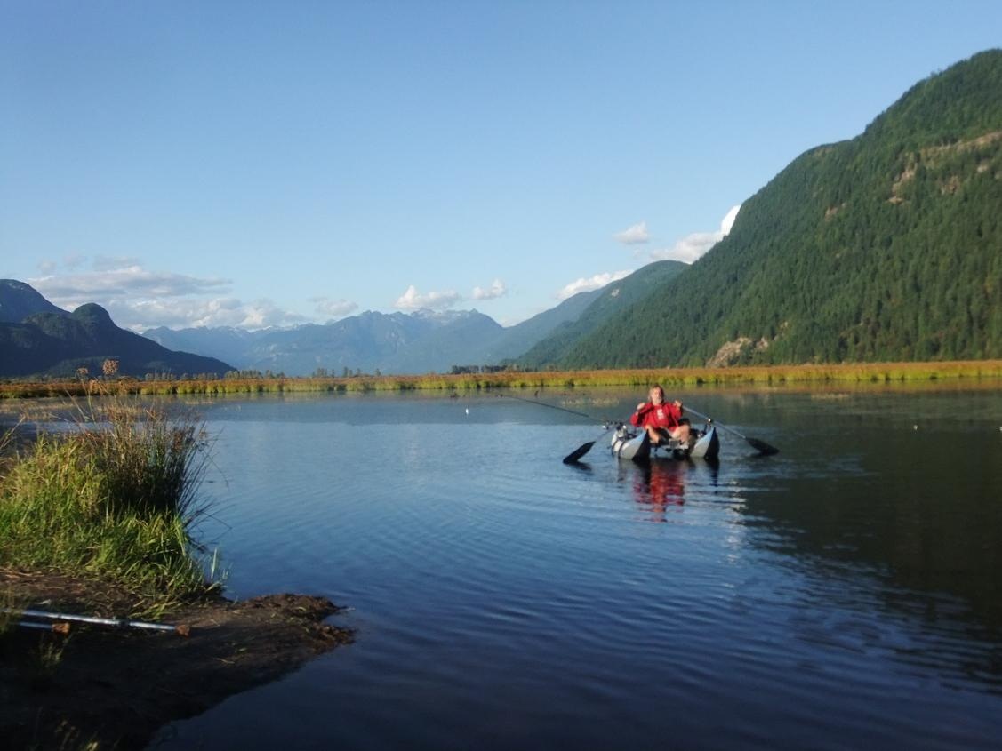
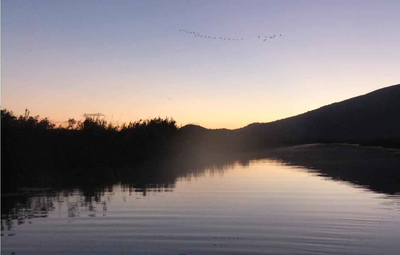
This was at the very N end of what is today called Invermere Lake. By strange coincidence, this lake high in the Rocky Mountian Trench has, in more recnet years, been stocked (illegally) with LM bass, a species native to the warm lowlands of the Mississippi. The bass have thrived however, and last summer I made a basstravaganza expedition up there to explore the LM fishery. I had no idea at the time that I was fishing bass beneath the site of the first fur trading post on the W side of the Rockies in BC.
In 1808 Thompson left the wife and kids at the new factory – now called Kootenae House – and talked the Kootenays into leading him on a magical mystery tour. Up the river, thru another big lake to a short portage into another big river that flowed S. He followed this river past what is now Bonners Ferry, Idaho, where it curved N again. Following the river back across the 49th parallel he and his voyageurs reached the swampy, flooded area S of Kootenay Lake. His men were hungry and disheartened. The rivers ran in circles around here, and had giant killer rapids and falls that had to be portaged around. And where the H was the Columbia anyway? With the generous leadership of a Kootenay chief, Thompson and his men hiked thru the flooded Moyie R valley and made it back to the portage and Kootenae House. Then Thompson gathered all the furs he had collected and headed back over the mountains to Rocky Mtn House, and started paddling down the Saskatchewan R across the continent. He dropped Charlotte and the kids off at Boggy Hall House on the Saskatchewan R, and paddled on to Lake Superior, sold his furs, and met with his partners. Then he paddled back up to Boggy Hall, where he found that Charlotte had blessed them with another child. This time he left the rest of the family there, and headed back over Howse Pass to Kootenae House before winter. Quite a trek for a one eyed cripple.
In 1809 he walked, paddled, and rode horseback over the same route, extending further S to what is now Lake Pend Oreille and the Clarks Fork R in Idaho. He visited Charlotte, who was still staying at Boggy Hall, and fathered another child. In spring of 1810 he was back at Rocky Mtn House, trying to get a load of trade good back over the mountains. By now he had a string of factories extending from Lake Windermere down into central Idaho. But as he approached Howse Pass he was met by a bunch of Piegans who would not allow them to cross the mountains.
Now the Piegans were great allies and trade partners with the NW Co. They depended on the fur trade for guns and ammo. Originally native to the area N and W of the great lakes, the Piegans had been pushed out of their ancestral territory by other tribes, like the Iroquis, who had obtained guns from the colonists on the E coast. When the Piegans started trading furs for guns they were able beat the crap out of the tribes to the W, who had only bows and arrows. Soon the Piegans controlled the E slope of the Rockies. Thompson had earlier spent an entire winter living with the Piegans, learning their culture, history and language. He was a trader – a polar opposite of the conquistador. Reading his journals, you cannot help but be amazed at his deep sense of respect and friendship for the native peoples he encountered.
The Piegans now thought of the feeble Kootenays as subhumans or slaves. The Kootenays no guns and they could do little to resist the plundering Piegans. It was becoming an annual sport for the Piegans to raid and rob and murder their neighbors. But the Piegans knew that if Thompson continued trading on the E side of the Rockies, the Kootenays would soon obtain guns, and tilt the balance of power. Now Thompson was a bringing guns to the Kootenays, he became an enemy of the Piegans.
They forced Thompson to back down from crossing Howse Pass, but he did not give up. Instead he regrouped, and waited until the Piegans returned to their winter villages, and then led his expedition up over an entirely different, untried pass over the Rockies, in December, with snowshoes and dogsleds.
In 1808 another NW Co partner, Simon Fraser, had crossed the Rockies further N, and located a big river flowing S. Convinced that it was the Columbia, he followed it down until it suddenly turned W and barreled thru the coast range, thru a fearsome canyon, and out to the sea. No, this was not the Columbia, it was the mighty river that now bears Fraser’s name, whose outlet to the sea had been missed by such luminaries as the meticulous Captain Vancouver.
But where was the source of the great Columbia, in the maze of BC mountain ranges? In 1811 Thompson crossed the portage again and headed down to visit his factories around Pend Oreille, then headed W by horseback from what is now the Spokane, Washington, area until he hit the Columbia. There his men chopped out dugout canoes and headed downstream.
Thompson knew that John Jacob Astor had financed a major effort to establish a fur post on the W coast. After Lewis & Clark had found the path to the Columbia’s outlet, both Astor and the NW Co realized that the area was – under the terms of the Nootka Convention – free for the taking. Whoever was first to plant a flag there would become the effective owner. Astor funded a huge overland expedition of adventurers lead by unemployed Quebecois voyageurs. They would paddle and hike overland from St Louis on the Mississippi to the mouth of the Columbia. Meanwhile, he fitted out the ship Tonquin with trade goods and supplies to build a fort at the Columbia mouth. The overlanders would meet the ship in the estuary of the Columbia, where it would unload and then continue up the coast to trade for sea otter pelts with the natives on Van Isle.
The overland party succeeded – with great struggle – in crossing the Rockies and the continent. Fans of my original 2010 basstravaganza will remember that I crossed the Rockies via the South Pass, which was first discovered by the Astorian Overlanders.
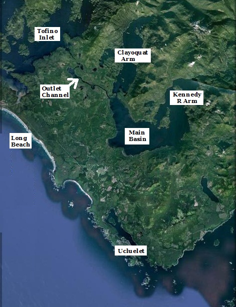
The captain of the Tonquin. Jonathan Thorn, was a strict, mean and abusive jerk to his men, who hated him. Thorn was even more cruel to the natives he traded with. When they would not sell on his terms he would often threaten them, or beat them. In July the Tonquin entered Clayoquat Sound, to trade furs with the natives and their powerful chief, Wickaninnish. Thorn insulted the chief, who – unlike Thorn’s crew – was not in the habit of taking shit from anybody. Wickaninnish returned the next day with his warriors, and slaughtered the captain and almost all of his crew. Only one man escaped alive, and another was trapped below decks. This unfortunate sailor knew that Wickaninnish wanted to obtain a gunship for his own people, so he blew up the powder magazine, the ship, and himself. When the Tonquin did not return to the Columbia that fall, the overlanders were left stranded. The Astor fur trading fort struggled on for a few years before being sold to HBC.
So … the Astorians had arrived and built a fort at the mouth of the Columbia – site of the current city of Astoria - while David Thompson was paddling down the river from its headwaters. Thompson was of the understanding that the NW Co was in partnership with the Astor company so he was in no hurry. He arrived at the new fort of Astoria in July, only to learn that the merger between NW Co and Astor had not gone thru. They were not partners but competitors.
Thompson spent a week at Astoria, and then started paddling back upstream. This time he continued on up the Columbia from the spot where he had joined it on the downstream trip. The big river flowed out of the N for another 200 miles, and then swung around 180 degrees in a big semicircle to flow out of the Rocky Mountain Trench from the S. He ended up right back at Kootenae House. It is one of the extreme ironies in the history of exploration that - after years of arduous toil - Thompson finally learned that the first big river he had discovered in BC, which he assumed flowed N into the Arctic, was in fact the one he had been seeking all along.
In 1813 Thompson packed his furs back over the Rockies again and paddled down the Saskatchewan R. He picked up Charlotte and the kids along the way, took them along to Lake Superior, where he sold the furs, and continued on to Montreal, where they remained. David Thompson never returned to the western Shangri La he had discovered.
In addition to his monumental achievements as an explorer, David Thompson is equally famous for being the greatest cartographer of his era. His mind was an organic GIS. He was a fanatic about position, always stopping to look at the sky with his instruments. Unlike most other fur trapper/explorers who could barely draw s crude cartoon of the places they had been, Thompson spent half his life taking sunshots with his sextant and his one functional eye. The natives thought he was cuckoo. They called him Koo-koo-sint (he who looks at the stars).
He spent the other half of his life transcribing his data onto paper maps. There maps were not only dead accurate, they were also works of art. It is difficult to read his journals, cuz they mostly consist of tedious bearings and distances. It is only in the short interludes of description and narrative between the numbers that you grasp the fundamental intelligence and honesty of this man, and his sympathy and empathy and respect for the people and places he encountered.
Thompson always felt that Mother England did not understand the importance of the lands he had discovered. While he seldom criticized anyone in his journals, he refers to Lord Palmerston (whose regime relinquished the Oregon Territory to the US) as "that blockhead". His vision of what the land would become proved accurate. The valley areas he predicted would be good for crops are now giant agricultural civilizations. There are cities where his original factories once stood. Indeed, there are more people living in the Columbia/Fraser watersheds today than lived in all of Great Britain when Thompson came to America.


